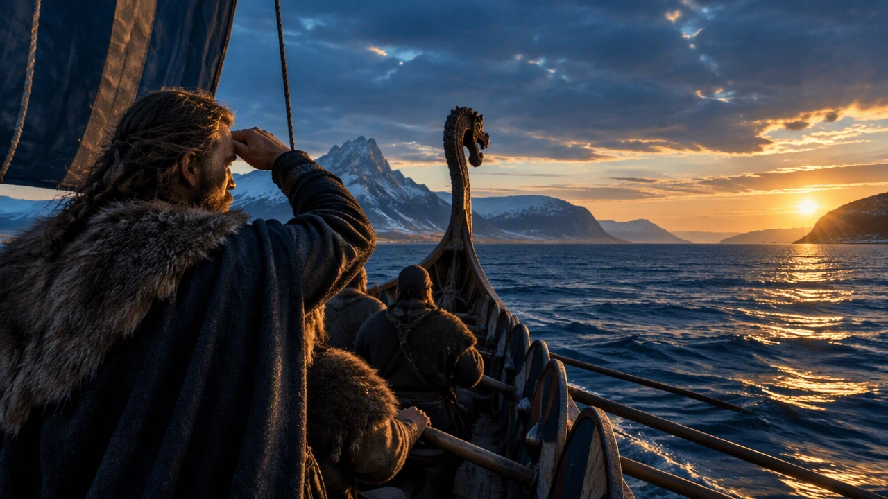
How Viking Longships Navigated Without Compass
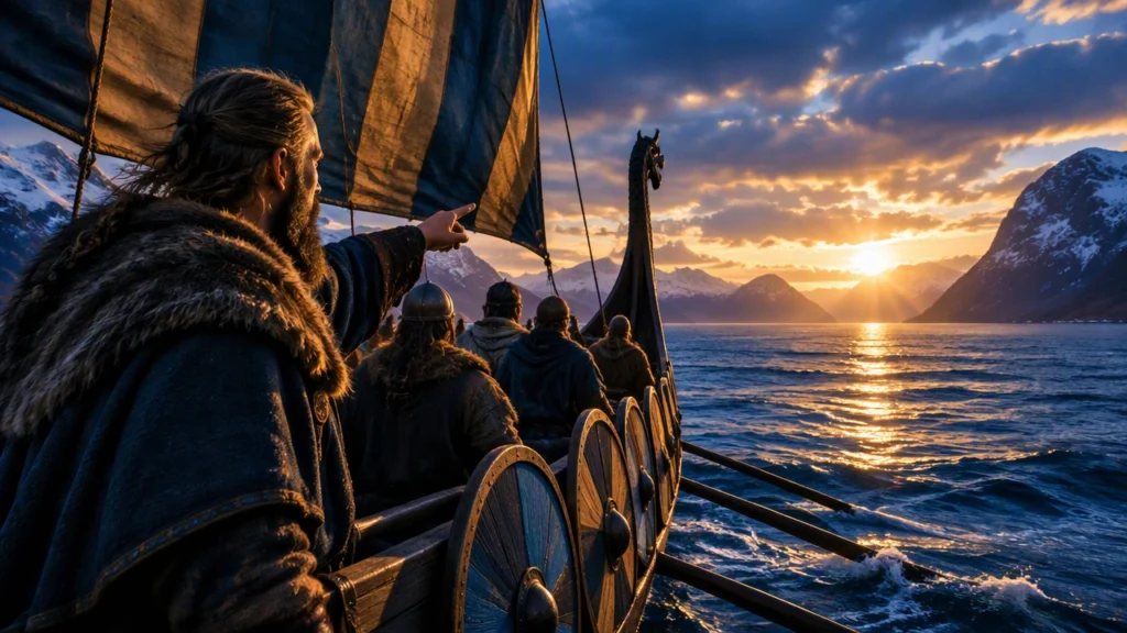
Viking expansion was not simply a matter of courage. It depended on ships that could cross open water, carry warriors and cargo, and still travel far upriver. It also depended on navigators who could hold a course with no magnetic compass, using the sun, stars, ocean swells, birds, and remembered landmarks. Norse mythology and early northern history meet in this practical world: sagas imagined fate, sea gods, and heroic voyages, while shipbuilders and seafarers solved concrete problems of speed, stability, visibility, and direction.
Ships built for two worlds
The longship was part of a broader Norse shipbuilding tradition that also included bulky trading vessels. Its defining features were a shallow draft, a flexible clinker-built hull, and a narrow, streamlined form. Overlapping oak planks were fastened together so the hull could twist slightly under stress instead of resisting every wave with rigid force. This construction gave the vessel remarkable durability in rough water.
A shallow draft allowed a longship to approach beaches directly, cross estuaries, and move through rivers that would stop deeper ships. That flexibility mattered on raiding expeditions. A crew could land quickly, haul the vessel above the tide, travel inland, and withdraw before local forces assembled a coordinated response. The same design also supported exploration because it let sailors probe coastlines, fjords, and uncertain channels without depending on established harbors.
Longships were normally powered by both sail and oars. The square sail suited steady passage across open water, while oars provided control in calm seas, strong headwinds, narrow channels, and the final approach to shore. Banks of rowers also made acceleration possible when a landing had to be fast. Steering came from a large quarter rudder mounted on the right side of the hull, requiring the helmsman to watch wind direction, current, and the behavior of nearby vessels.
Speed, balance, and the limits of a raiding ship
The longship’s shape balanced competing needs. A narrow hull reduced drag and supported high speed, but excessive narrowness would have made the ship unstable. Norse builders adjusted hull width, sail area, and crew distribution to keep the vessel manageable in Atlantic swells. A flexible mast and rigging allowed the sail to respond to changing wind rather than transmitting every gust directly into the hull.
These ships were not invincible. Their open or lightly covered decks exposed crews to cold rain, spray, and long periods of discomfort. Cargo space was limited compared with a knarr, the broader Norse trading ship. A raiding party therefore had to travel with a realistic margin of food, water, shelter, and repair materials. The same vessel that enabled a swift coastal strike could become dangerous if overloaded or taken far from suitable landing places.
Navigation without a magnetic compass
The long-tail question how Viking longships navigated without compass begins with a basic point: magnetic compasses were not standard equipment during the main Viking Age. Navigators relied on a combination of environmental signs and accumulated route knowledge.
Daytime direction could be estimated from the sun’s position. The sun rises in the east and sets in the west, but its exact path changes with season and latitude. Experienced voyagers understood these shifts. On overcast days, they might watch for subtle changes in brightness or use the direction of waves and wind to maintain a rough heading. At night, stars provided a more stable reference. In the Northern Hemisphere, the region around the pole star was especially useful because it remained visible while other stars turned around it.
Open-ocean swells also carried information. A consistent set of waves could reveal the general direction from which weather systems or distant coastlines were shaping the sea. Sailors learned to read the ship’s motion as well: changes in pitch, roll, and resistance could signal shallower water, shifting currents, or approaching land. Coastal navigation relied on headlands, seabirds, floating debris, water color, and the smell of earth or vegetation carried on the wind.
The sun-compass: instrument or aid?
The most famous candidate for Viking directional technology is the sun-compass, associated with a carved wooden artifact found at Uunartoq in Greenland. Its notched, curved design has been interpreted as a device for tracking the sun’s arc and estimating direction or local noon. If used as suggested, it would have helped navigators compare the sun’s position with a known reference and correct their course during daylight.
The exact operation remains uncertain, and it is safer to describe the object as a possible navigational aid rather than a universal instrument used by every crew. A sun-compass would still require knowledge of the season, approximate latitude, and the sun’s changing path. It would also lose usefulness under dense cloud or during the night. Its value likely lay in organizing other observations, not replacing them.
Route memory and the logic of exploration
Long-distance voyages often followed chains of known points rather than a single continuous heading. Sailors might travel from one island group to the next, using coastal features and remembered sailing directions to move across stretches of open water. This approach turned navigation into a library of routes: when to leave Iceland, how far to hold west of the British Isles, what currents to expect near the Faroes, and when bird sightings suggested that Greenland was near.
Exploration grew from this practical knowledge. Early voyagers tested uncertain routes, noted where winds and currents carried the ship, and returned with observations that others could refine. The result was not a modern map, but a repeatable seamanship system linking ship performance to seasonal signs.
From shipyards to expansion
Viking raiding and exploration were enabled by an integrated technology. Clinker construction produced resilient, flexible hulls. Shallow drafts opened rivers and beaches. Sails and oars supplied speed under different conditions. Navigation combined solar and stellar references, wave patterns, wildlife, landmarks, and inherited route memory, with devices such as the proposed sun-compass adding structure to daylight observations.
These achievements did not remove risk. Storms, fog, hunger, and mechanical failure remained constant threats. Yet the combination of adaptable ships and disciplined observation made long-distance movement repeatable enough to support raids, trade, settlement, and exploration across a wide northern world.